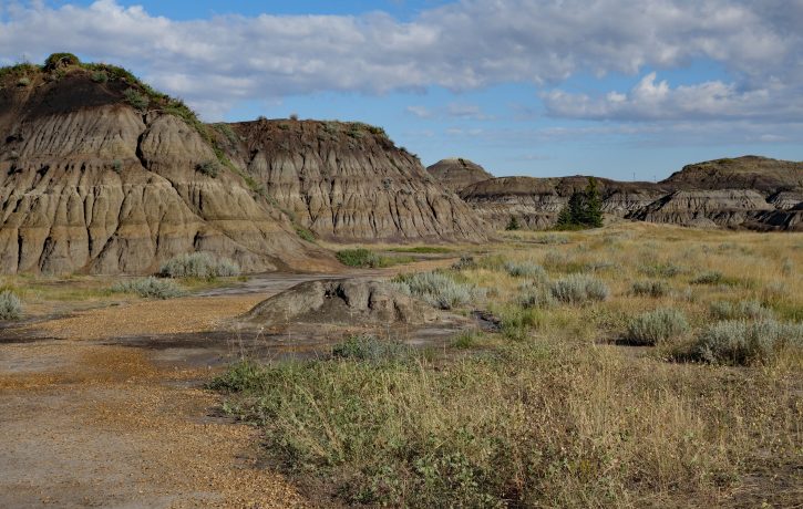
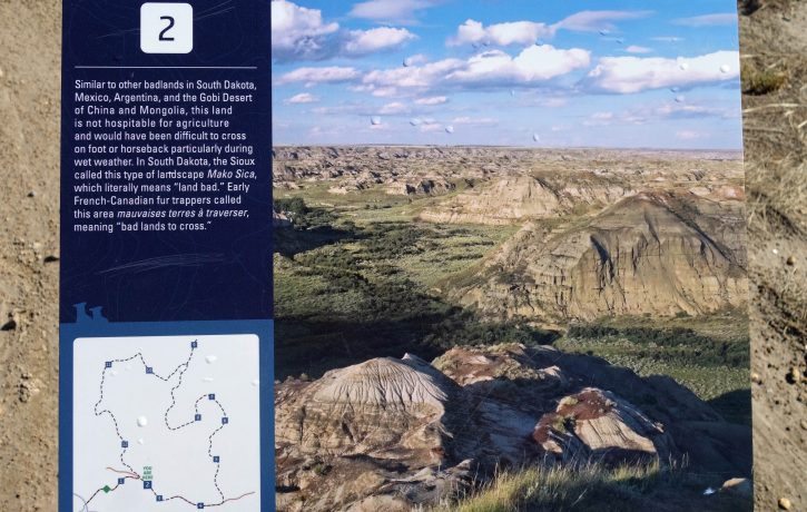
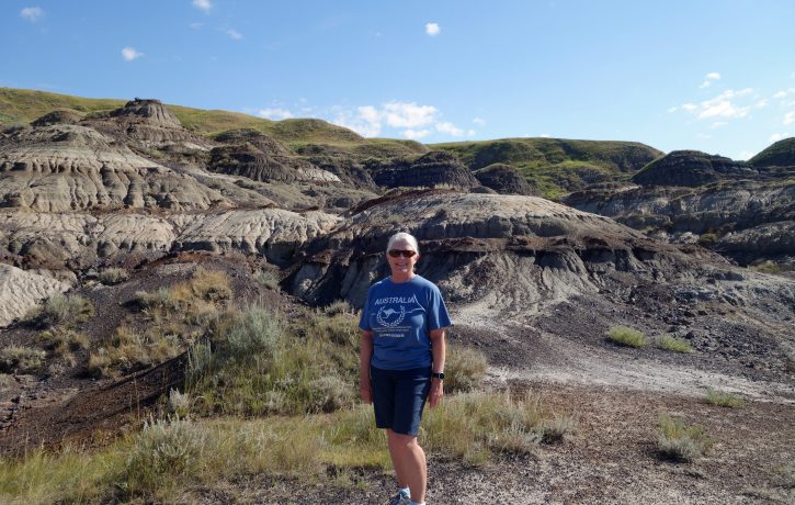
Approximately 110 km northeast of Calgary is a region known as the Canadian Badlands, named by early French explorers who termed the deep, winding gullies as “bad lands to cross”. Spanning east from the town of Drumheller to the Saskatchewan border and south to the United States, this area is home to the largest deposits of dinosaur bones in the world. Seventy-five million years ago, when dinosaurs walked the earth, southern Alberta was a subtropical paradise. Today the terrain is dry and the soft rocks and clay-rich soils have been extensively eroded by wind and water. Flat, fertile plains suddenly drop away into a magical world of multi-hued canyons and hoodoos.
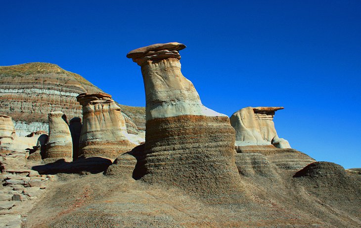
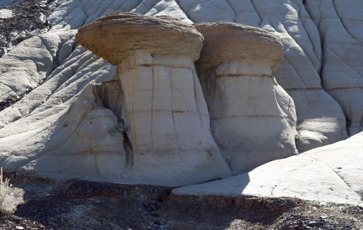
Hoodoos, also called tent rocks, fairy chimneys or earth pyramids are tall thin spires of rock which have been eroded by the elements over the years and are typically found in dry desert areas. The last place we saw such interesting rock formations was in Cappadocia, Turkey which we wrote about here. The Drumheller hoodoos took millions of years to form and stand 5-7 meters tall. Each hoodoo is a sandstone pillar resting on a thick base of shale, capped by a large stone. They are very fragile and can erode completely if their capstone is dislodged.
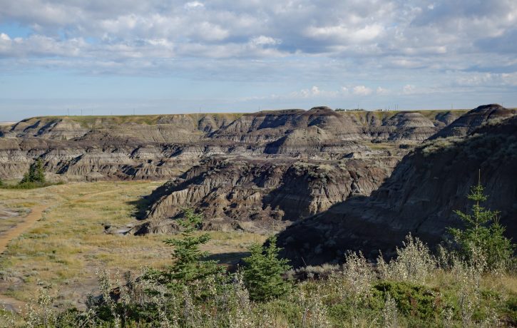
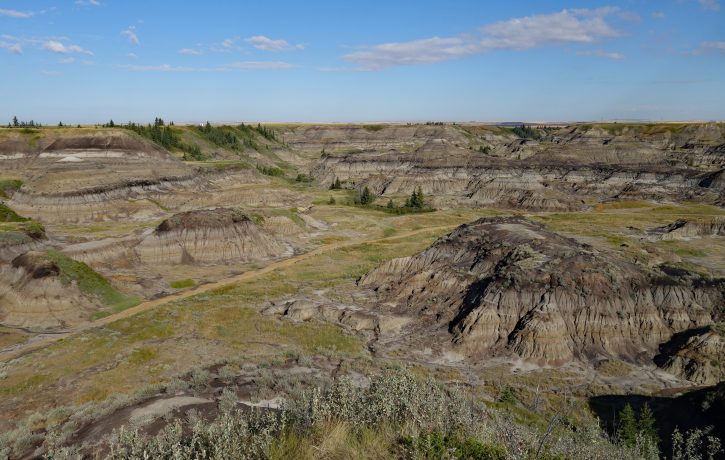
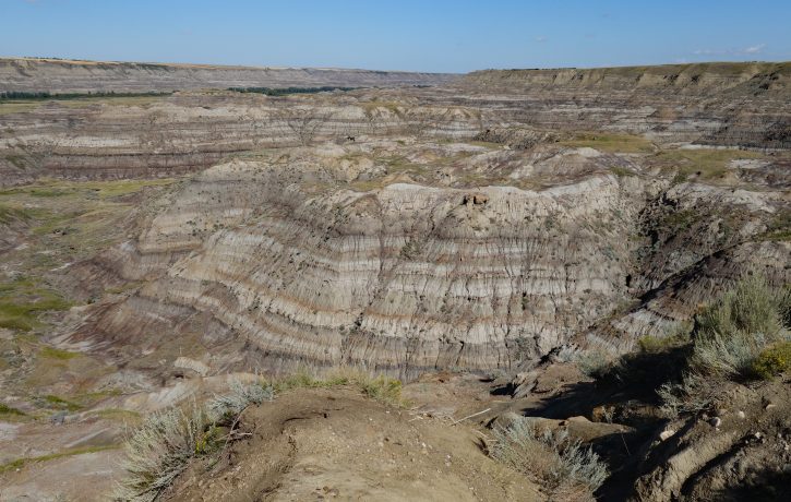
Making the journey from Calgary to Drumheller, the first place you reach is Horseshoe Canyon, a large U shaped canyon with multi-striped walls revealing the layers of time. There are a few viewing platforms located around the top of the canyon and a gravelled path taking you to the bottom of the canyon where you are surrounded by ground-level views of the stone formations. From the parking lot into the canyon and back out is an easy 1.7 km walk.
Leaving Horseshoe Canyon it is 17 km further to the town of Drumheller. Starting in Drumheller is a loop route running along the north and south sides of the Red Deer River valley aptly named the North and South Dinosaur Trail. We started on the north road making our way to the Royal Tyrrell Museum of Palaeontology as our first stop. Unfortunately, we had not realized that due to COVID access was only permitted with a pre-booked reservation, which we did not have 😢 So, instead of visiting the museum we walked the 1.4 km Badlands Interpretive Trail on the museum grounds, through Midland Provincial Park. There are 12 signs along the route providing information and history of the specific features unique to the badlands. While interesting it did not replace the 2 hours we had hoped to spend inside the museum…next time!!
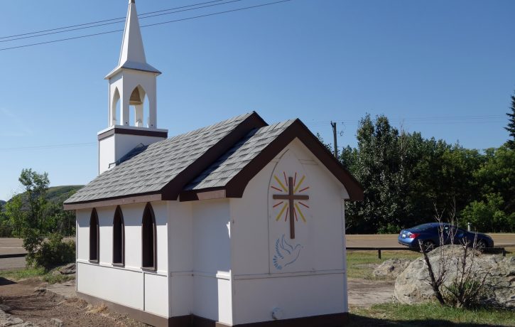
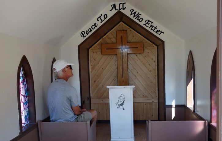
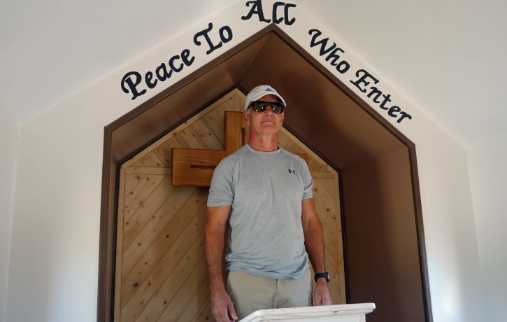
A short distance from the museum sits The Little Church, advertised as seating 10,000 people – 6 at a time. This church was first erected in 1968 and reconstructed in 1991 by inmates of the Drumheller Penitentiary. It was designed as a place of worship and meditation, not just a tourist attraction.
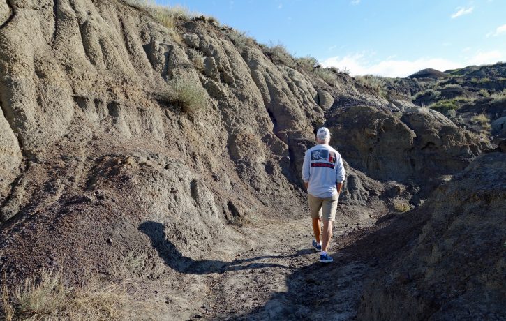
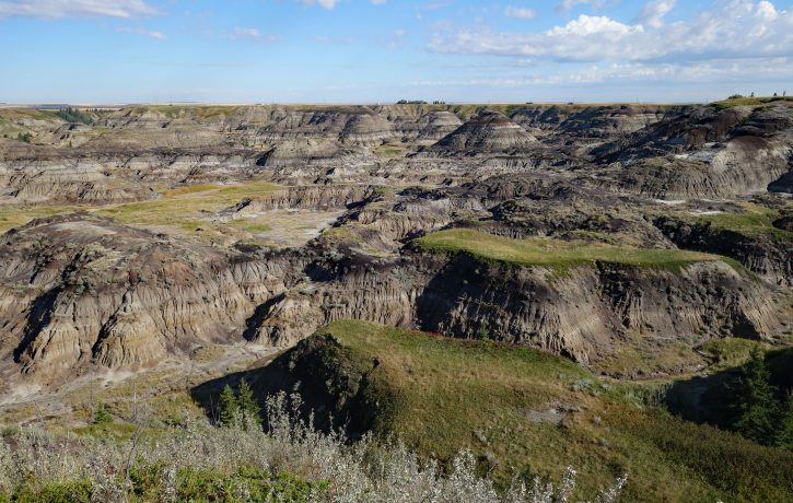
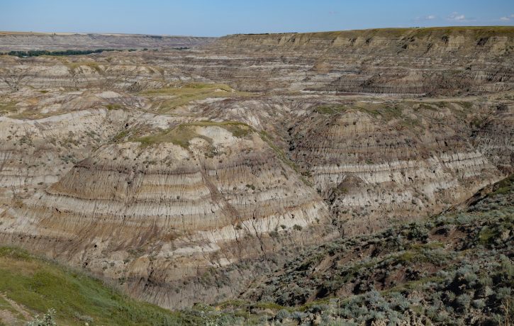
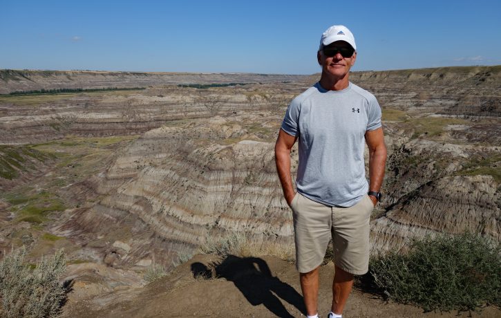
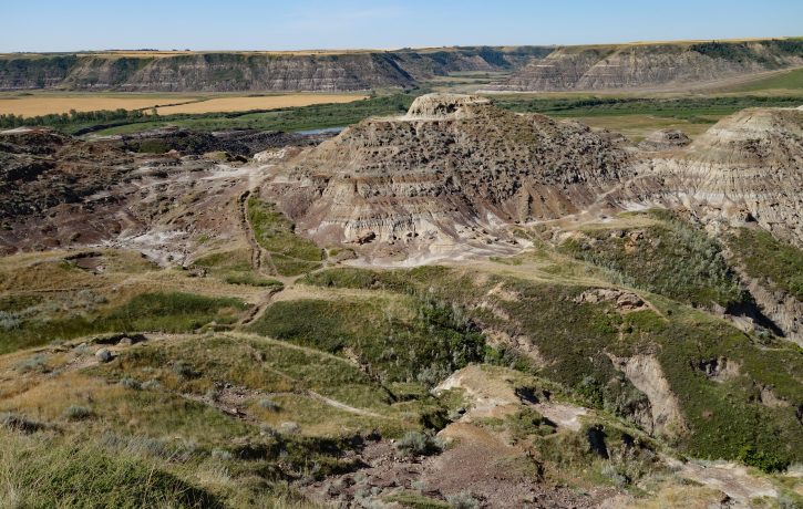
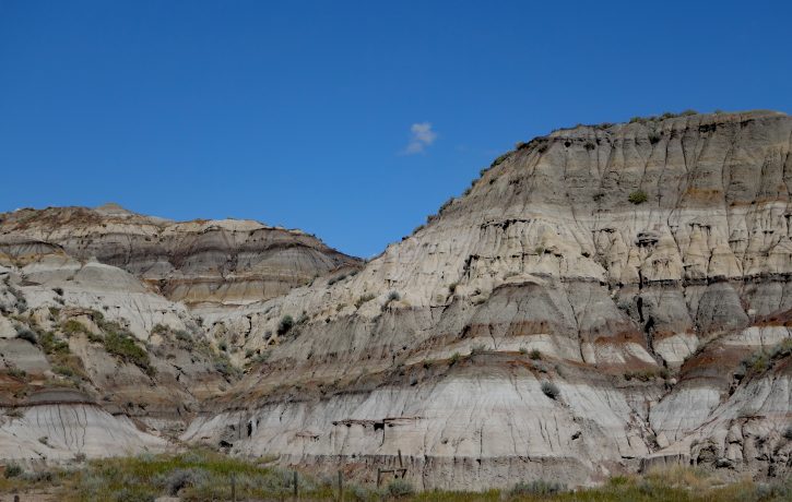
Continuing along the North Dinosaur Trail our next destination was Horse Thief Canyon, one of the most beautiful places in the badlands and possibly the best views. The name “Horse Thief” was given to this area because of an illegal horse trade network in the last century. Horses smuggled illegally between the USA and Alberta were supposedly hidden in this canyon. If the views from the canyon rim are not enough there are walking trails taking you deep into the canyon itself – just be careful, there are no signs and it would be easy to get lost. The visible layers of the canyon walls consist of mudstone, sandstone, shale and black coal seams. Each layer representing the changing climate over the millennia.
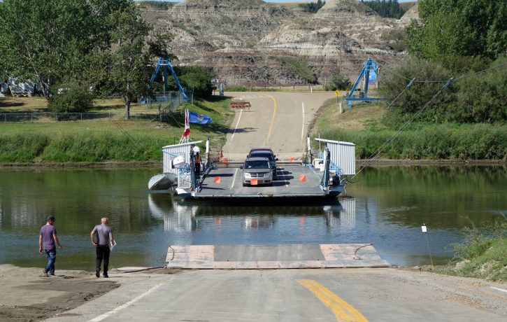
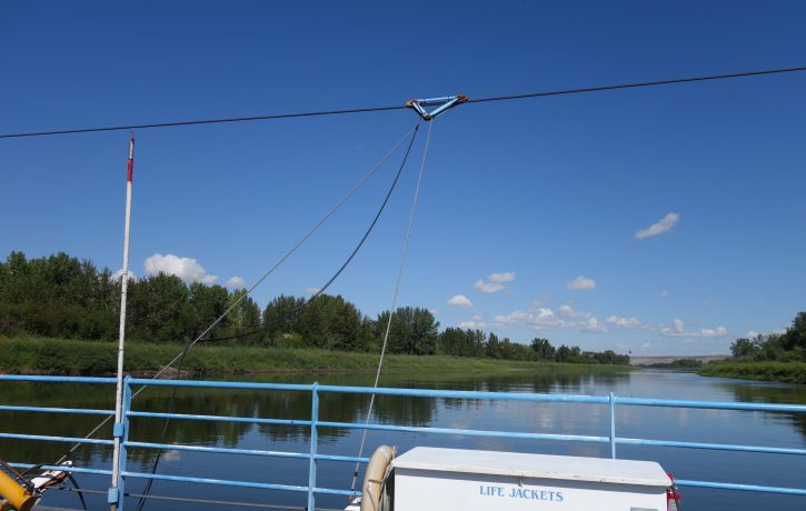
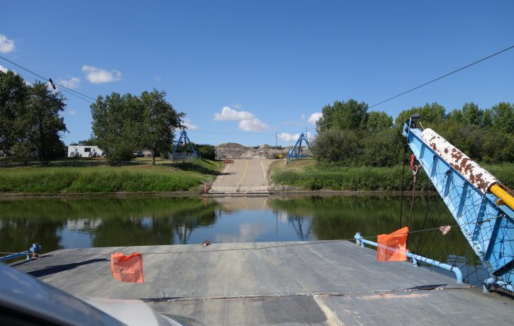
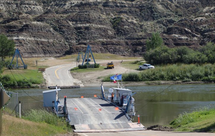
From Horse Thief Canyon, the road descends into the valley where the Bleriot Ferry awaits to take you across the river to the South Dinosaur Trail. This cable ferry was known as the Munson Ferry until 1966 when it was renamed in honour of an early homesteader, Andre Bleriot. It takes about 2 minutes to cross the river and is free.
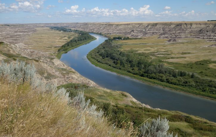
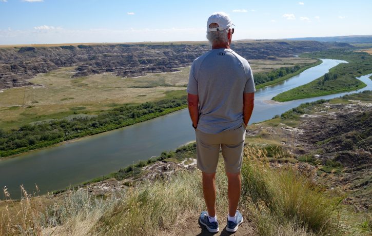
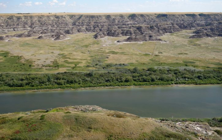
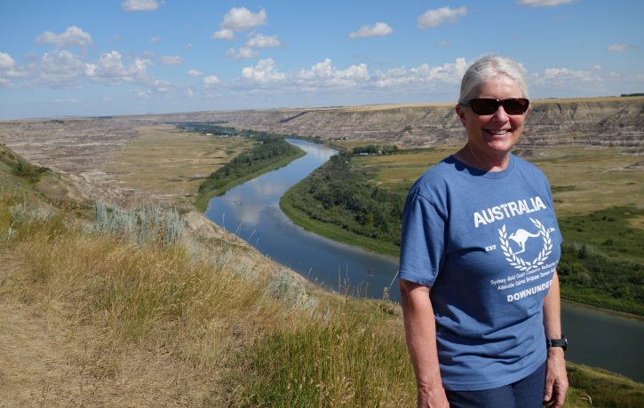
Our first, and only stop, on the South Dinosaur Trail was the Orkney Viewpoint. A popular tourist attraction offering sweeping views of the Red Deer Valley and across the river to Horse Thief Canyon.
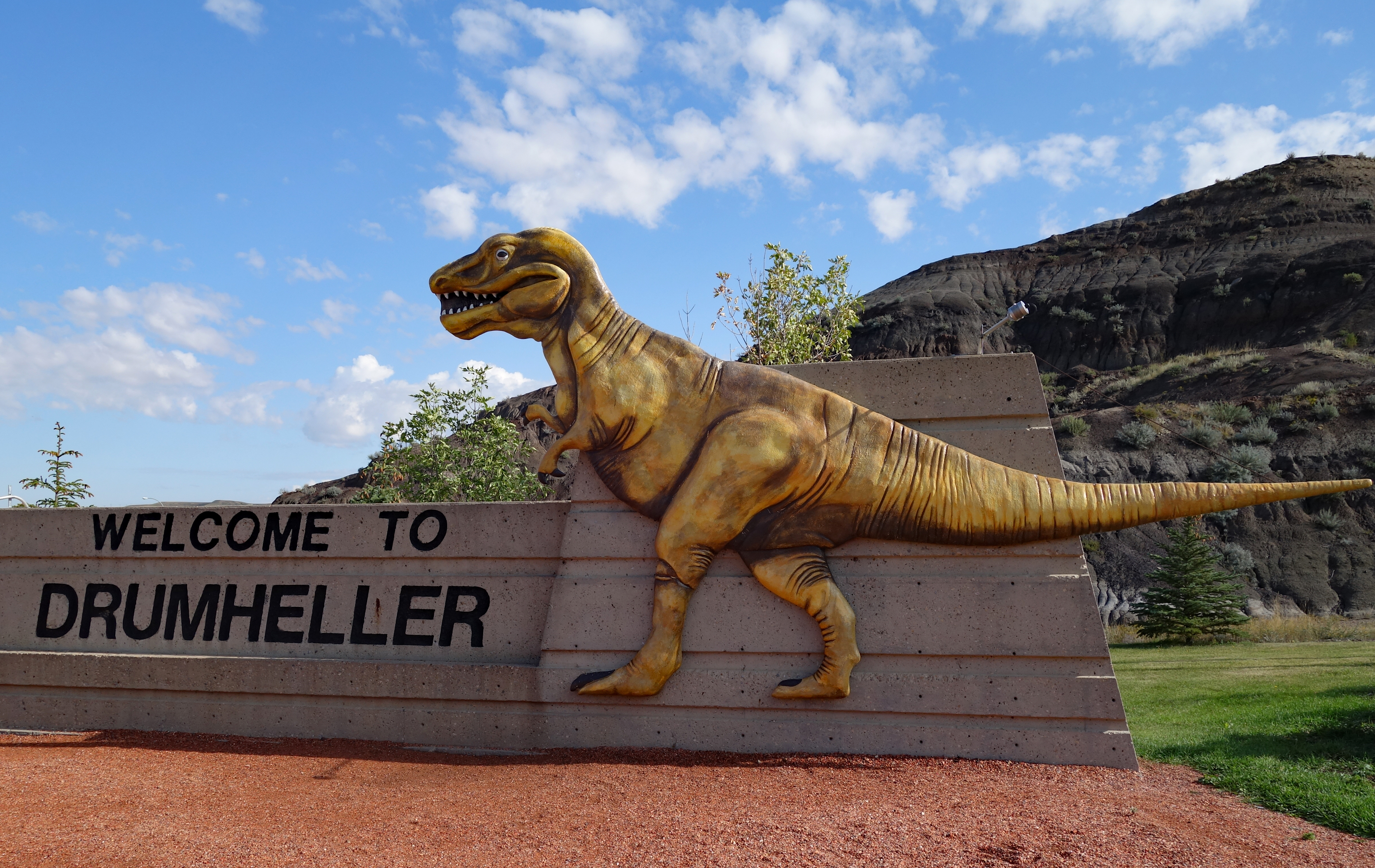
We continued on the South Dinosaur Trail to Drumheller, stopping at the Visitor Information Centre to view the world’s largest dinosaur. If one was inclined you can pay to climb the 106 steps to the top of the 86 ft tall T-Rex…we were not inclined to do so but it was definitely popular for the folks with children. If you look closely, you can see the viewing platform inside the open mouth of the dinosaur.

Leaving Drumheller we took a drive on the Hoodoo Trail which turned out to be the least interesting part of the day. Our first stop was at the Star Mine Suspension Bridge, which appears to have been closed for some time due to structural concerns, so that was a no-go. Next up was “The Hoodoos”, an overcrowded and small collection of hoodoos which we decided not to stop at. Instead, we headed up and out of the valley to the surrounding flat prairie farmlands and back to Calgary.
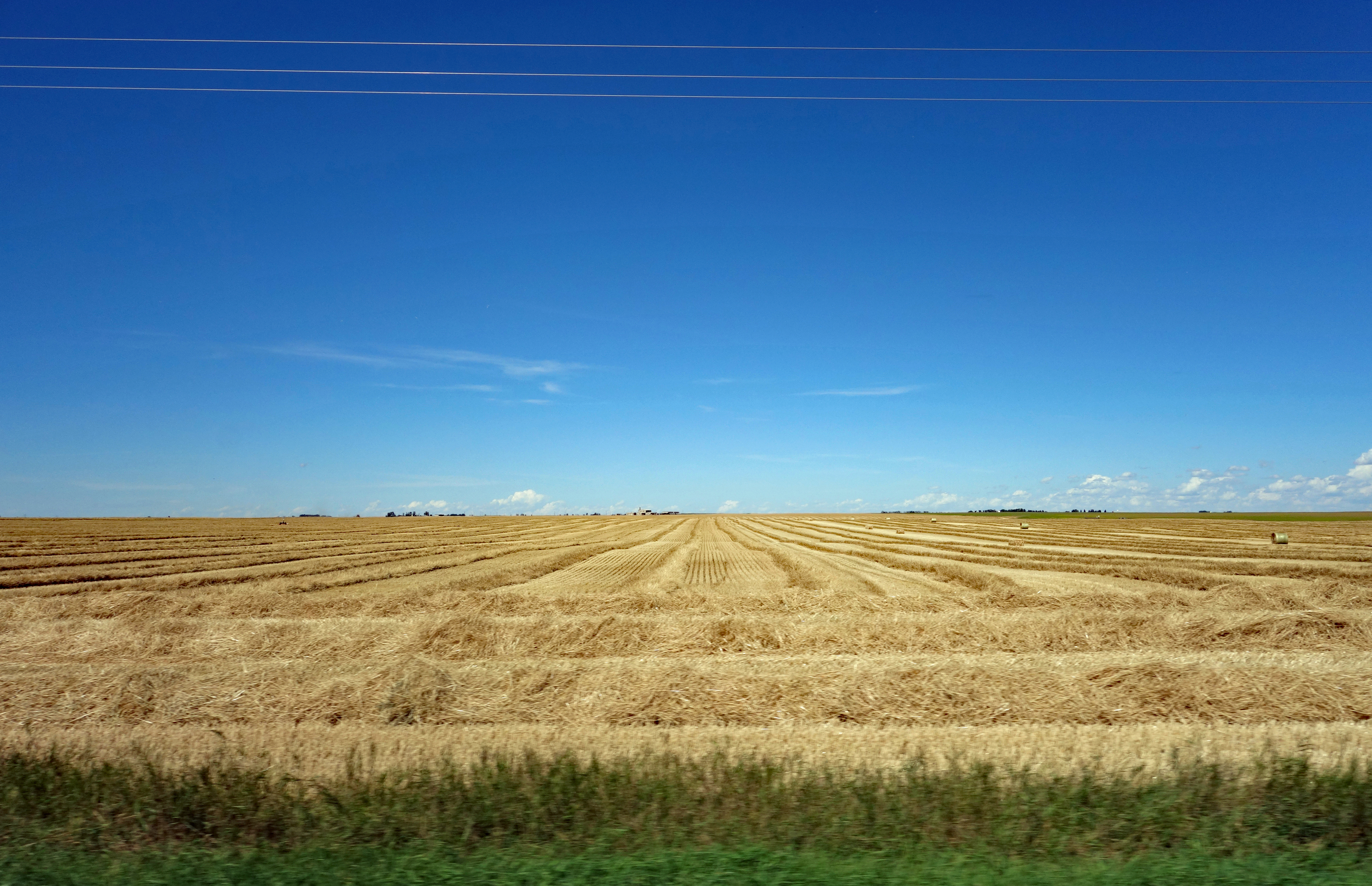
We really enjoyed our day in and around Drumheller, both commenting it had been decades since either of us had visited. Perhaps we will make the trip again before we leave Calgary, once we have reservations at the Royal Tyrrell Museum…
Hey, you’re back posting! The weather looks great as does the scenery. The Hoodoos remind me of giant mushrooms. You both look good and fit, just in time for the Canadian Winter! We hope to see you back in Cayman for the winter 🙂
Thanks Bruce. We are not doing much of interest to write about so until we hit the road again the posts will be slim 🙂 Yes, we hope to get out of here before the dead of winter 🙂
Wow! Something to add to our cross-Canada route once that is back on the ag3nda!!
You should also add Dinosaur Provincial Park to your list, it is a bit far from Calgary but another great place to visit if you are on a road trip out West.